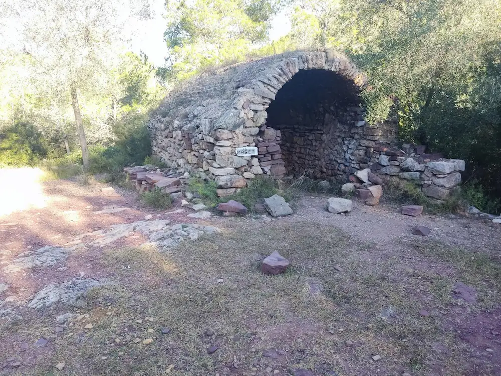
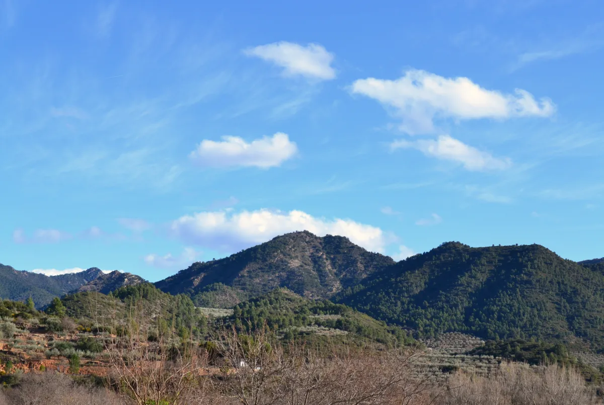
Onda has four hiking trails with an official FEMECV code and one additional community-documented route on Wikiloc, all circular and starting from the town centre or very close by. They range from the 5.6 km and 525 m of elevation of the demanding Pic de Montí to the 15.3 km of the route to The Pyramids. The terrain is classic Mediterranean sierra: cork oaks, rosemary, thyme, dry ravines and open views over the Plana.
The information on this page comes exclusively from the official records of FEMECV (the Valencian Community Hiking Federation) and Onda Town Council, and is provided for general information purposes only, with no commercial intent. GuiaOnda has not walked this route and does not verify the current condition of waymarking, the trail alignment, or the terrain, and assumes no responsibility for the accuracy or currency of this information.
According to FEMECV's own records, this route has not undergone a recent quality inspection, so waymarking may be incomplete or absent in some sections. Hiking carries inherent risks that each person must assess and accept individually. Before you set out: download the GPX track to a dedicated device (not just your phone), check the weather forecast, carry appropriate mountain equipment, and let someone know your planned itinerary. GuiaOnda accepts no liability for injury, accidents, getting lost, or any other loss that may result from using this information.
 Easy
Easy
Santa Bàrbara · Onda
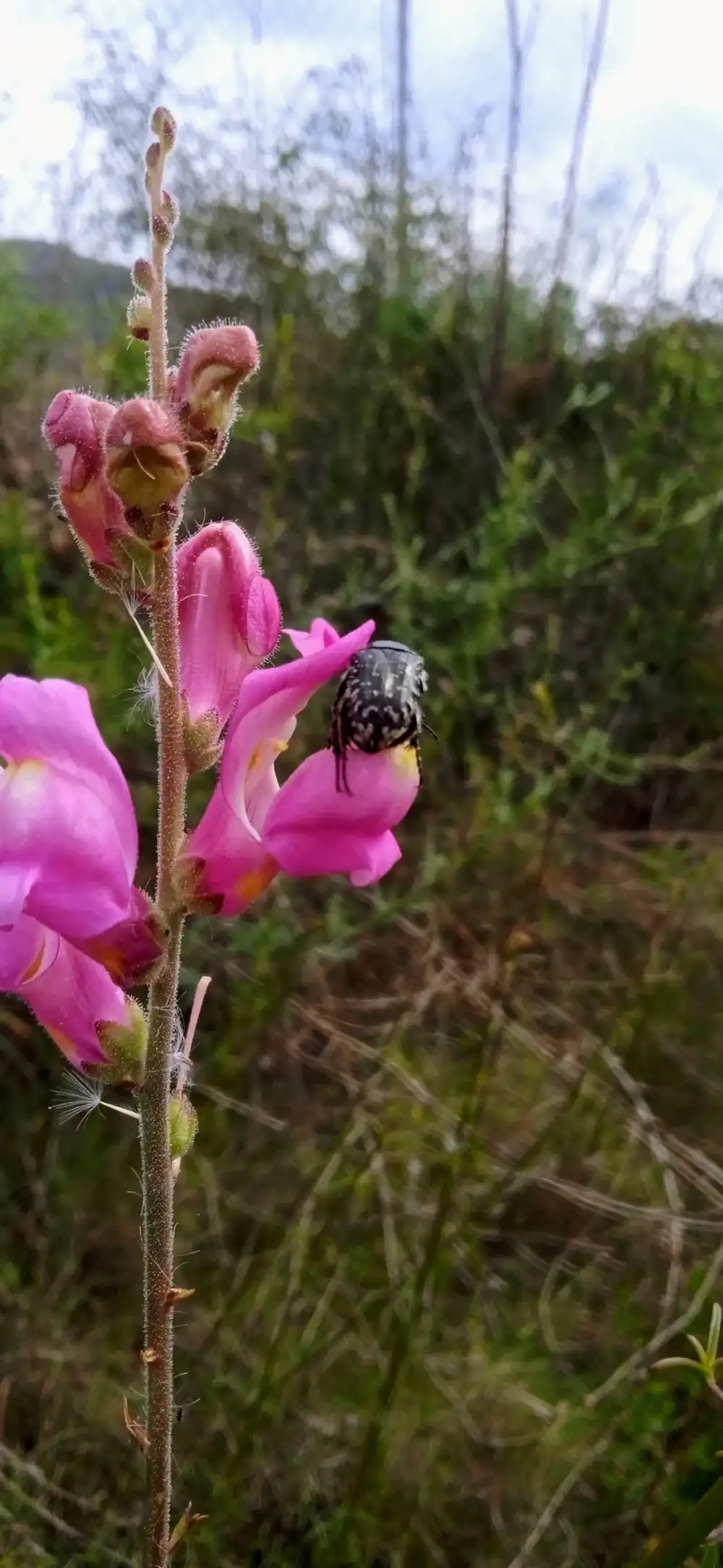
The most accessible and varied trail. Climbs to the Santa Bárbara chapel with views of the castle and sea, returning through a fragrant cork oak forest. Starts at the Molí de la Reixa.
 Demanding
Pic de Montí
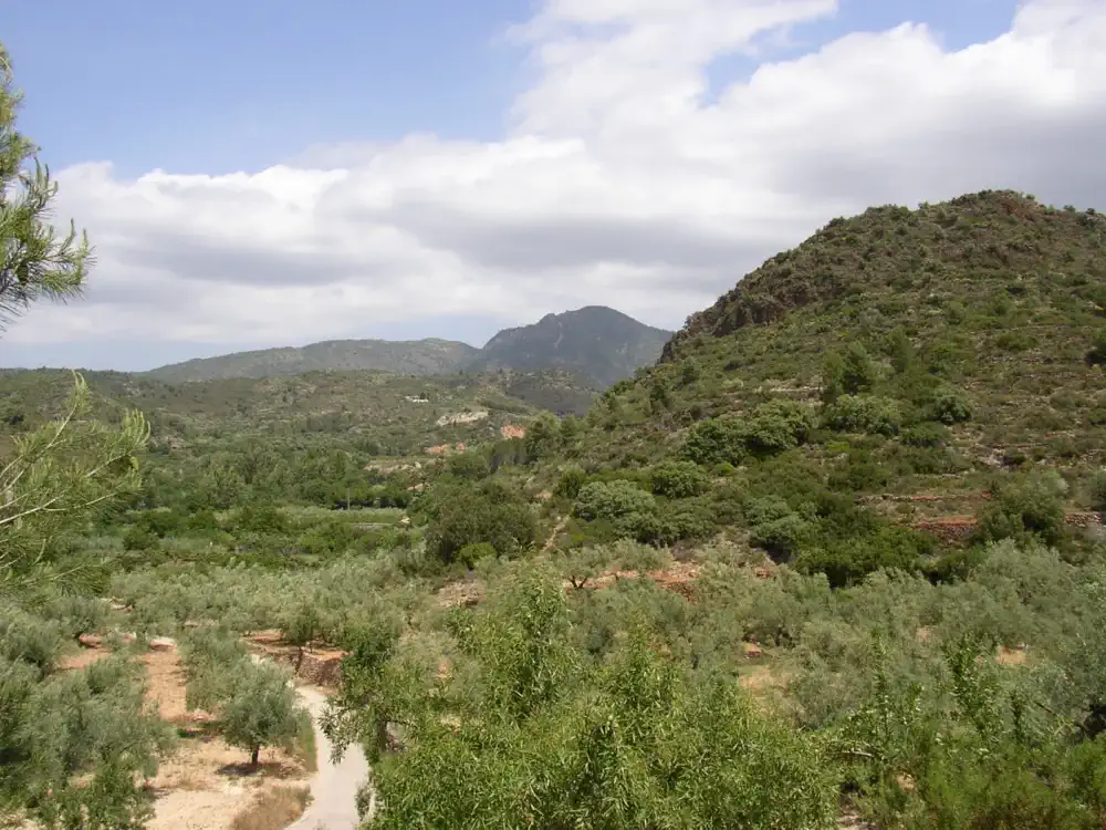
Short but intense: 525 m of elevation gain in under 6 km. The Pic de Montí offers the best 360-degree panorama in Castellón province from Onda's hiking routes.
 Moderate
Onda · El Salvador · Onda
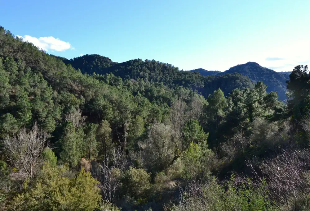
Half-day hike passing the Ermitorio del Salvador hermitage. Combines rural paths, pine forests and a stretch of the CV-20 road up to Onda's patron saint's shrine at 318 m.
 Very demanding
Onda · The Pyramids · Onda
The longest and most demanding route. Climbs to the geological formations known as The Pyramids, combining geological, historic and environmental interest. For experienced hikers.
Community routes
Tracks verified by the hiking community on Wikiloc. These are not FEMECV-certified routes, but they have documented alignments and reliable technical data. Always check the original GPX track before heading out.