
The information on this page comes exclusively from the official records of FEMECV (the Valencian Community Hiking Federation) and Onda Town Council, and is provided for general information purposes only, with no commercial intent. GuiaOnda has not walked this route and does not verify the current condition of waymarking, the trail alignment, or the terrain, and assumes no responsibility for the accuracy or currency of this information.
According to FEMECV's own records, this route has not undergone a recent quality inspection, so waymarking may be incomplete or absent in some sections. Hiking carries inherent risks that each person must assess and accept individually. Before you set out: download the GPX track to a dedicated device (not just your phone), check the weather forecast, carry appropriate mountain equipment, and let someone know your planned itinerary. GuiaOnda accepts no liability for injury, accidents, getting lost, or any other loss that may result from using this information.
The SL-CV 142 is the most demanding of Onda's certified routes. In just 5.6 km, the trail gains 525 metres of elevation from El Azud to the summit of the Pic de Montí, making it short in distance but intense in effort. The reward is a 360-degree panorama that takes in the Plana Baixa, the villages of the Sierra de Espadán, the Mediterranean coastline and, on clear days, the Columbretes Islands.
The start is at El Azud, a historic water-intake point beside the Riu de Betxí, a short drive from the town centre. From here the trail enters the cork oak forest immediately, climbing via the Camí Vell de Tales, an ancient mule track that for centuries was the connection between Onda and the hill villages. The gradient is steady and sustained in the first section; pace yourself for the final push to the summit.
Route and waypoints
- 1El Azud: Starting point. Historic water intake beside the Riu de Betxí. Parking available at the edge of the track.
- 2Camí Vell de Tales: First ascent section along a historic cobbled mule track through cork oaks. Moderate gradient at first.
- 3Intermediate saddle: Rest area mid-slope. Trail junction. Views towards the Plana begin to open up from here.
- 4Pic de Montí: Highest point and summit of the route. Full panorama: Plana Baixa, Sierra de Espadán, Mediterranean and Columbretes on clear days.
- 5Font del Retor: Spring on the descent. Shaded rest area among ancient cork oaks.
- 6L'Artesola: Mountain agricultural area with terraced fields and old farmhouses. The trail descends gently to close the loop back at El Azud.
What to see along the way
The Camí Vell de Tales has stretches of well-preserved original cobblework, a testament to the intensive use this route saw before paved roads replaced mule tracks. The sandstone paving, with its distinctive reddish tone, is especially visible in the sections sheltered by vegetation.
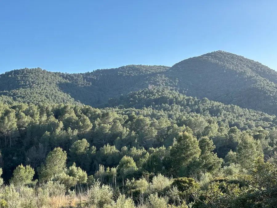
The cork oak forest surrounding the entire route is part of the great cork oak woodland of the Sierra de Espadán, regarded as one of the most extensive in the western Mediterranean. Near the Font del Retor there are fine mature specimens whose trunks bear the marks of cork harvesting, a traditional activity that continues in the sierra.
The Pic de Montí summit delivers the greatest visual impact: the contrast between the immediate sierra and the agricultural Plana below, its orange groves laid out to the blue of the Mediterranean, is hard to match within such a short distance from Onda.
Practical tips
This trail is recommended for fit hikers with mountain experience. The 525 m of elevation gain in only 5.6 km means steep sections, especially on the final push to the summit. Bring enough water: the Font del Retor is the only water source on the route and may be dry in summer. The best seasons are autumn and spring; in summer the heat and lack of shade on the upper section make the ascent very demanding. Start early. The official GPX track is available on the FEMECV register.