
The peak that dominates inland Valencia
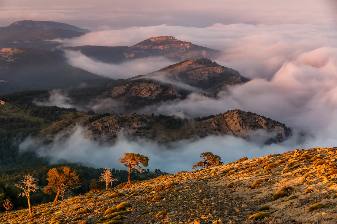
Penyagolosa stands at 1,813 metres. It's the highest peak in Castellón province and the most iconic in the Valencia region. From the summit, on a clear day, you can see the sea. That blue line on the horizon is the Mediterranean, about 100 km away as the crow flies. You can also see a large part of inland Castellón: l'Alcalatén, Els Ports, El Maestrat.
The mountain is part of the Penyagolosa Natural Park, declared in 2006. The park protects over 1,000 hectares of pine forest, holm oak and high-mountain scrubland, with a flora and fauna found nowhere else in the province. In winter it snows. In spring, the hillside is covered in wildflowers. In summer, the temperature at the summit can be 10 ºC below what it is in the valley.
From the summit you can see the sea. That blue line on the horizon, about 100 km away, is the Mediterranean.
The monastery of Sant Joan de Penyagolosa
At 1,236 metres altitude, on the north flank of the massif, stands the monastery of Sant Joan de Penyagolosa. It was founded by the Augustinians in the 14th century on a site that already had a long tradition of popular devotion. For centuries it was one of the most important pilgrimage centres in inland Valencia, and it still is.
The best-known pilgrimage is that of Les Useres: every year in spring, a group of pilgrims sets out on foot from the village of Les Useres (Useras) to the monastery, covering about 35 km over two days following a ritual documented since 1397. It's one of the oldest medieval pilgrimages in Europe still celebrated with its original protocol.
The current monastery is Baroque in style and managed by the Valencian regional government. The exterior can be visited freely; the interior has restricted access except on special days. Next to the monastery there is a rest area and the starting point for the park's main hiking routes.
Hiking routes
The main access point to the park is the Mas del Pont, a car park and services area next to the monastery in the Vistabella del Maestrat municipality. The most popular routes start here.
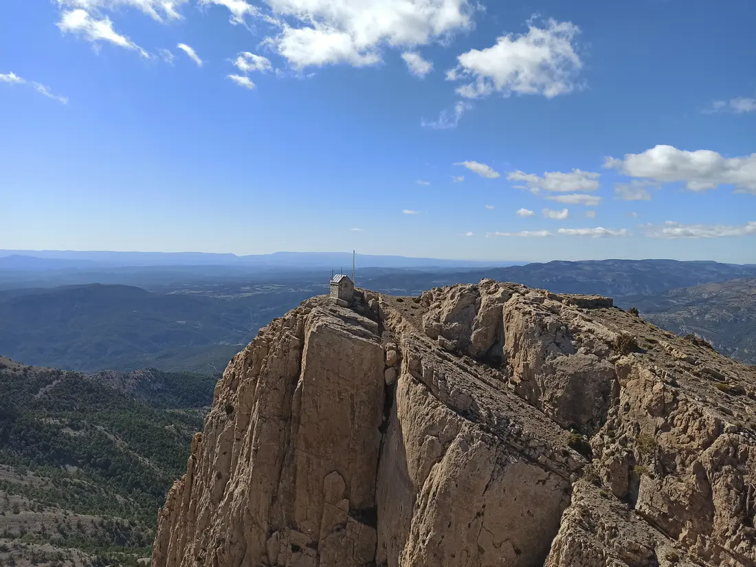
The classic ascent to the summit goes from the monastery along marked trails: about 10 km return, with around 600 metres of elevation gain and moderate difficulty. The ascent gains height along the north face between pines and crags; the descent follows the ridge back to the monastery. The estimated time is 3 to 4 hours at a leisurely pace. No technical equipment is needed in normal conditions, but mountain boots and good fitness are required.
For those who don't want to reach the summit, there are shorter, more accessible routes around the monastery. The forest track that circles the base of the massif allows one or two-hour walks with almost no elevation change, with constant views of the forest and rock faces.
A lesser-known alternative is the approach from Xodos, a small village to the south of the park. The route from Xodos is slightly longer but much quieter in terms of visitor numbers, and the village itself is worth a stop.
Planning the day
Start early. The Mas del Pont car park has limited capacity and on spring or summer weekends it fills before 10 am. If you arrive late, you'll have to park on the access road, which adds kilometres to your route.
Bring enough water (at least 2 litres per person) and food for the whole day. There is a bar-restaurant with a set menu next to the monastery, but it's small and can be full. At the summit there is nothing.
In winter, the upper part of the route can have snow or ice. Crampons or at least poles and great caution are then required. Check the park's conditions before setting out. In summer, the summit is cool even when Onda is at 35 ºC, but the sun-exposed ascent can be demanding; start before 8 am if possible.
There is no useful public transport from Onda to Mas del Pont. Access is by car, via the CV-190 from Llucena or the CV-850 from Vistabella del Maestrat.
What to bring
Mountain boots with grip soles (street trainers won't do for the summit ascent). Warm layers even if it's hot lower down: the ridge can be very windy at any time of year. Sun protection. Plenty of water. Food. Download the route to a GPS or maps app before leaving, as mobile coverage is patchy.